

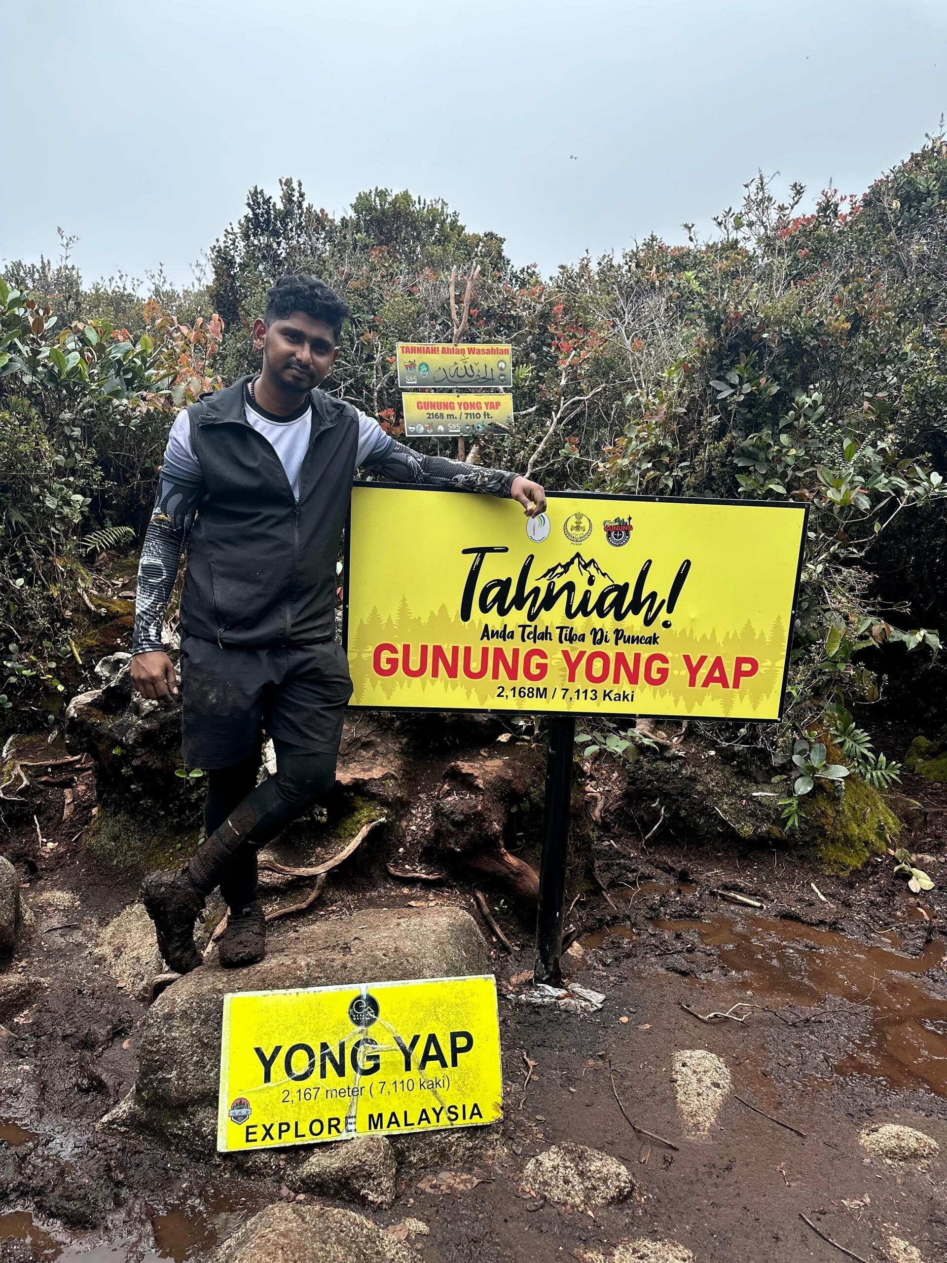
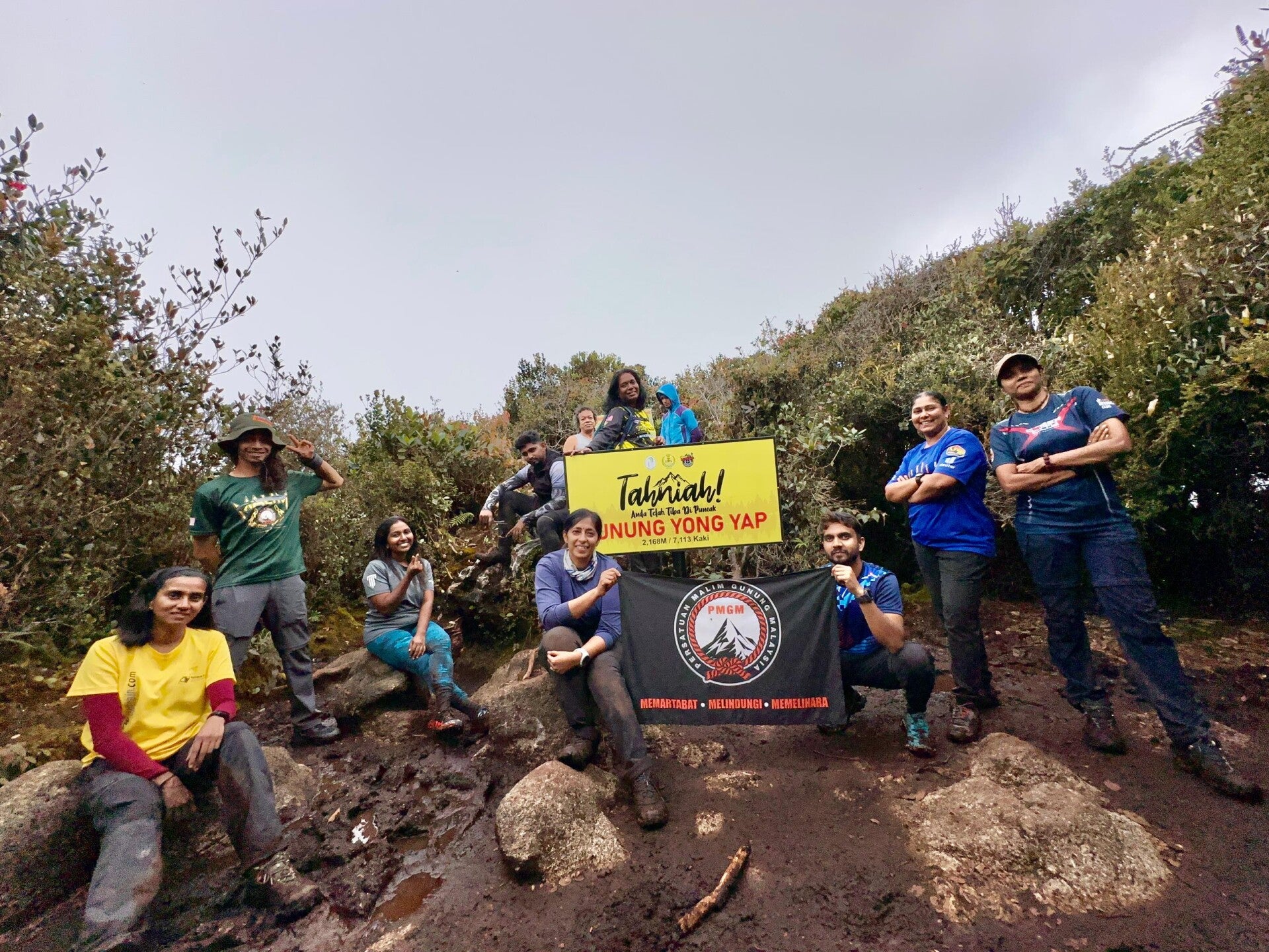
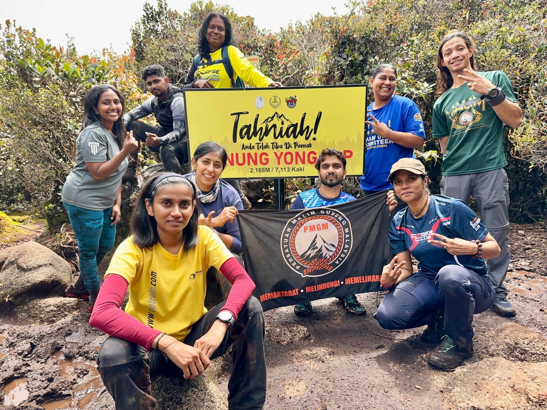
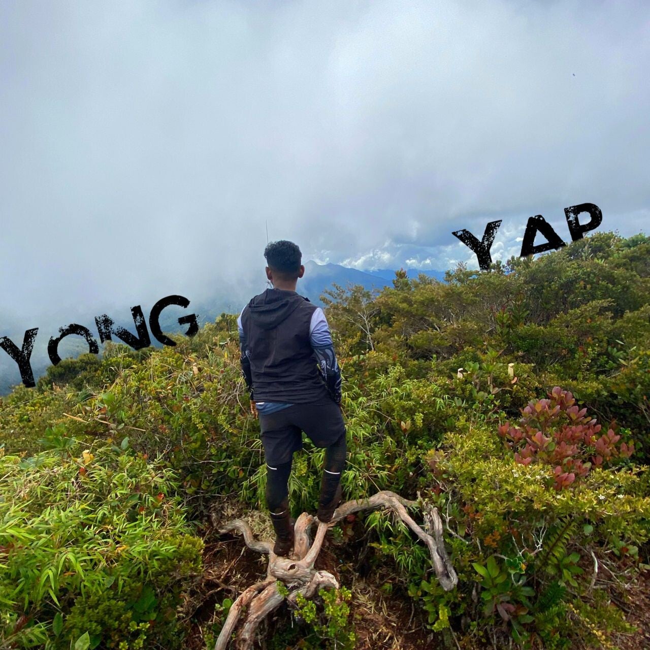
Gunung Yong Yap Overview
- Height: 2,168 m (7,110 ft)
- Location: Near Kuala Mu, Sungai Siput
View on Google Maps - Trail Length: Approximately 20.97 km (out-and-back)
- Elevation Gain: Approximately 1,854 m
- Difficulty Level: Moderate
- Info: Gunung Yong Yap is the sixth tallest mountain in Peninsular Malaysia, also known as G6
0p;nActivities
- Backpacking
- Camping
- Hiking
Best Times to Visit
- Year-round, with early mornings providing solitude.
Trail Segments
Trail Segments Description (Slow Pace)
Trainhead to Kem Lapang
Duration: Approximately 1 hour, 12 minutes
Description: The trail starts with a gentle incline, which is relatively easy until you reach the ladder. After this point, the trail descends toward Kem Lapang.
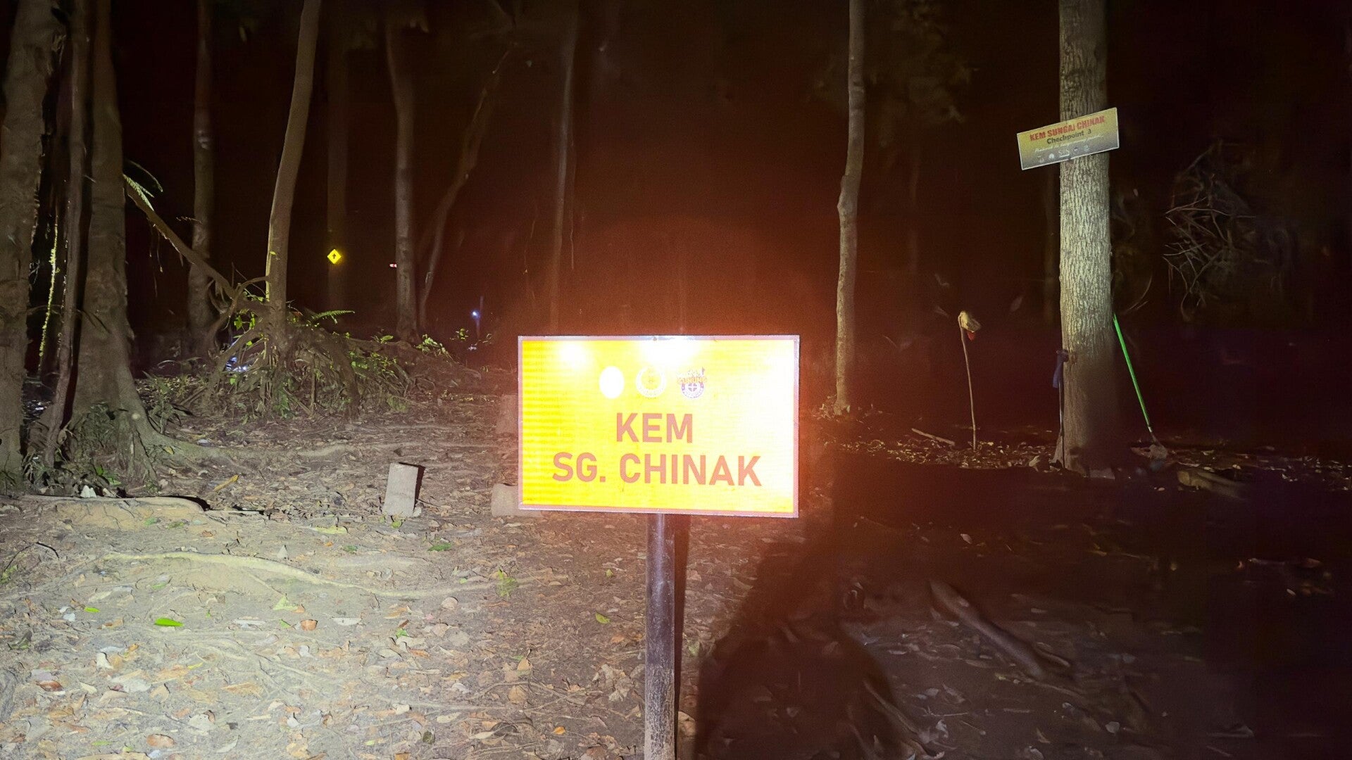
Kem Lapang to Kem Sungai Chinak
Duration: Approximately 40 minutes
Description: This segment features a descending path with an easy walking trail that leads to Kem Sungai Chinak. (Note: You will need to cross a river.)
Kem Sungai Chinak to Port Lepak
Duration: Approximately 41 minutes
Description: The incline becomes more pronounced in this section. It involves a manageable ascent, with some areas where you will need to hold onto ropes for climbing.
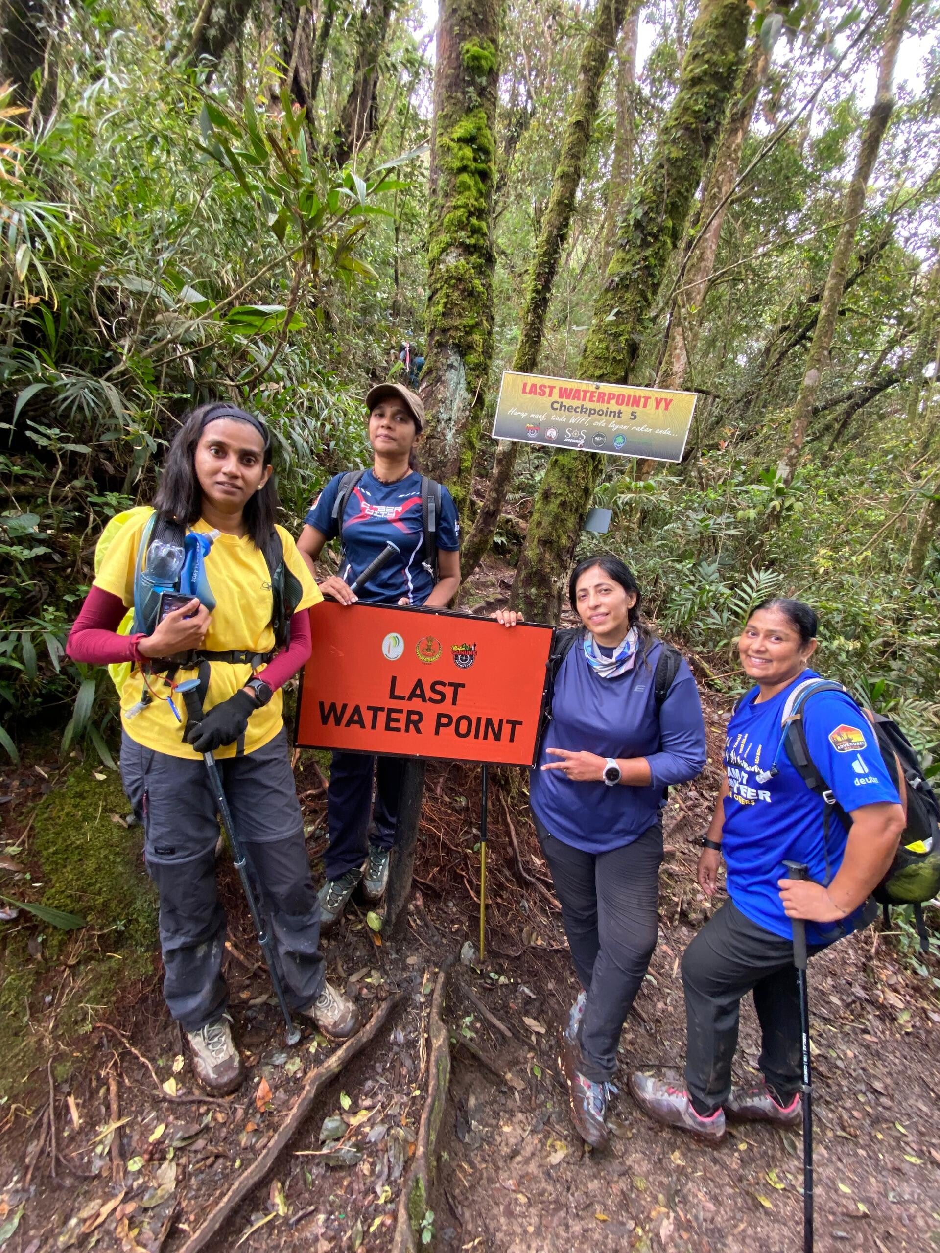
Port Lepak to Last Water Point
Duration: Approximately 1 hour, 28 minutes
Description: This segment consists of nonstop uphill sections that lead to a mossy area, transitioning into a standard trail that continues to the Last Water Point (LWP).
Last Water Point to Peak
Duration: Approximately 1 hour, 2 minutes
Description: The most challenging part of the hike begins here. Care must be taken, as the trail can be slippery and dangerous. This section requires physical strength and technical skills, especially when climbing the four ladders. The final ascent from the fourth ladder to the peak takes about 5 minutes.
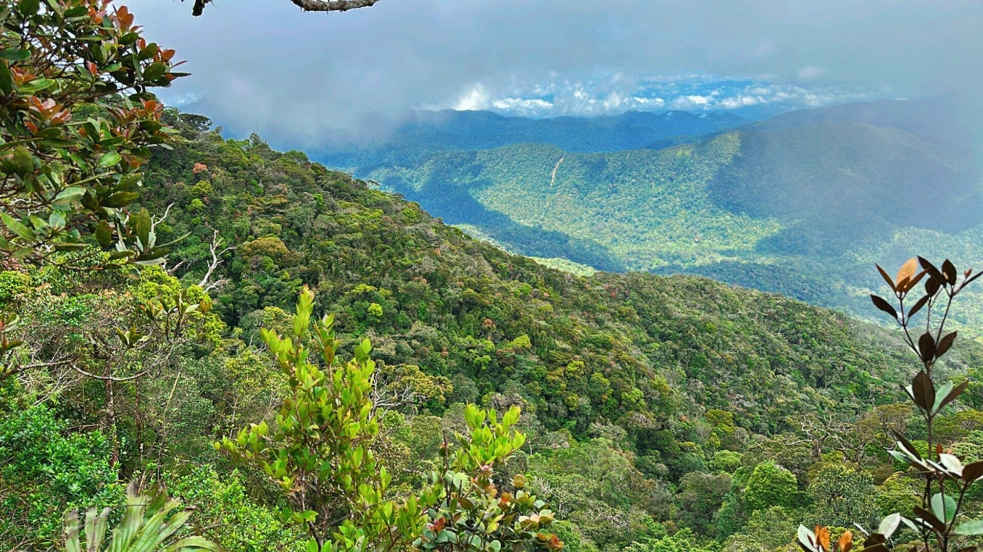
Environment
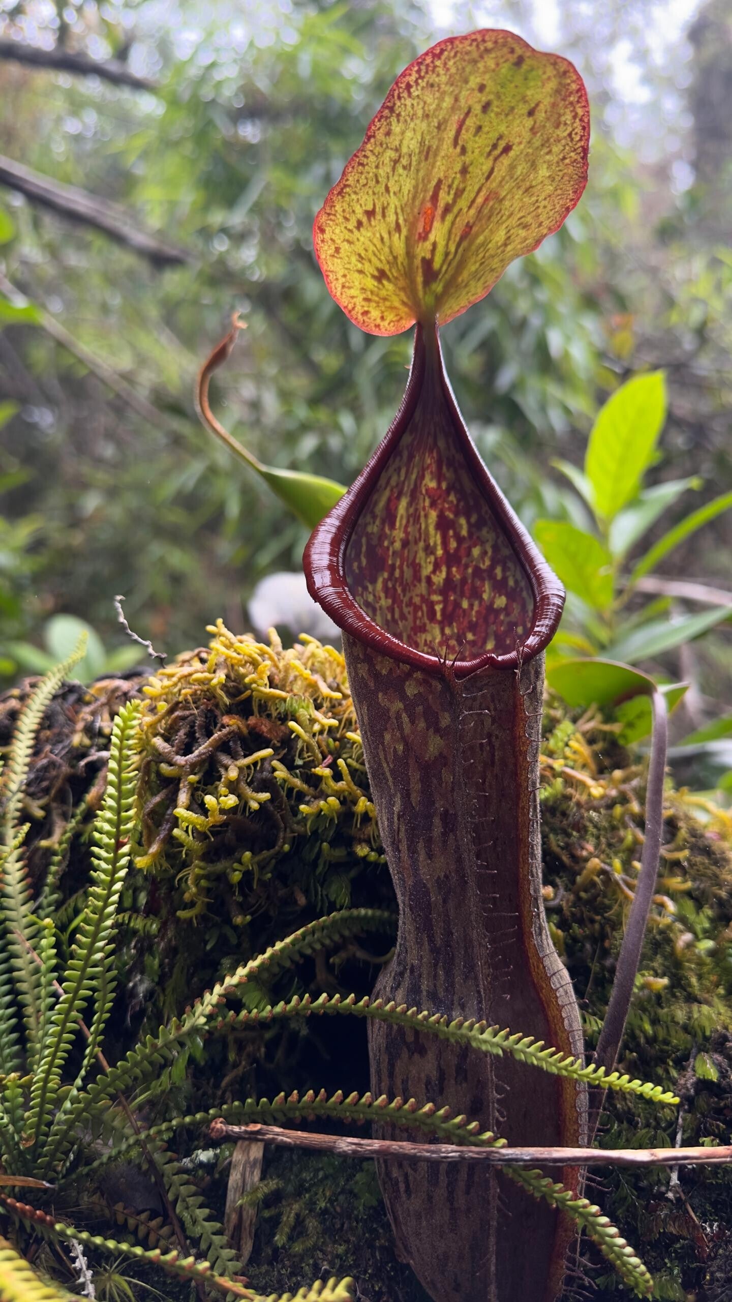
- Flora and Fauna: Diverse jungle with a chance to see unique wildlife.
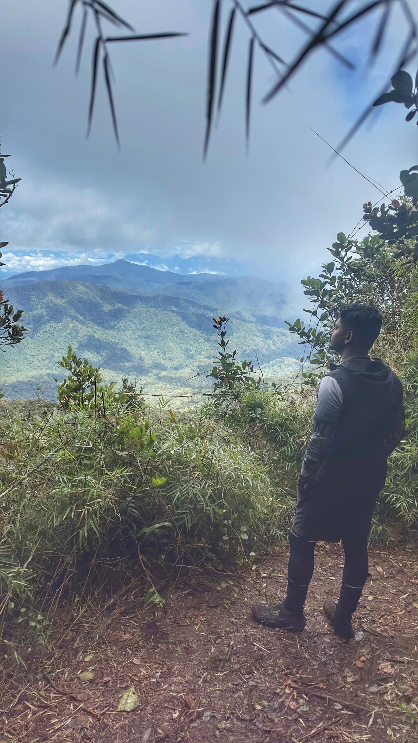
- Scenic Views: Beautiful vistas from the peak, especially rewarding after the climb.
Highlights
- Camp Sungai Chinak: A popular campsite with ample space for hikers.
- Summit Views: offers panoramic views of the surrounding mountains. In middle of trail have two view point
Facilities
- At Trailhead: minimal facilities; public facilities are available at the accommodation point (Chalet Dusun Kg Kuala Mu). (0148664467 Chalet Kampung besar
- 4WD Access: Consider using a 4WD to reach the trailhead from the accommodation.
Safety Precautions
- Wild Animal Encounters: Be cautious of wildlife, including potentially dangerous animals.
Additional Notes
- The Kuala Mu trail is more technical, especially between the Last Water Point and the summit. Recommended for fit and experienced hikers familiar with long, steep hikes.
- Via Kuala mu trail is suitable for daypackers and beginners for G7 mountain
GUNUNG YONG YAP DAY HIKE
Via Gepeh Hulu
🛣️ Sg. Siput, Perak
🔺 2168 m / 7110 ft
🏃🏻♂ Day hike
📈 6/10
🗼 Expedition Schedule:
Meet the organizer at POS KUALA MU and park your car here.
DAY 1
0100 - Early breakfast and prepare for the hike, loading bags into the 4X4.
0200 - 4X4 departs.
0230 - Expected to arrive at the Gepeh Hulu rubber plantation, drop point.
0245 - Start the hike.
0700 - Breakfast at Sg. Chinak campsite.
0730 - Begin the ascent to the summit.
0930 - Break at Last Waterpoint. Fill up water.
1200 - Expected arrival of all participants at the summit of Gunung Yong Yap.
Taking commemorative photos.
1230 - Descend back to the campsite.
1500 - Expected arrival of all participants at Chinak campsite.
1830 - Expected arrival of all participants at the 4X4 drop point.
1900 - Depart from the area with the 4X4.
1945: Expected arrival of all participants at POS KUALA MU safely.
Activity concludes.


Add comment
Comments
Amazing guide! Went with him and loved how he took care of his fellow comrades!